Beyond the Horizon: Transforming Saudi Arabia with Satellite-Powered Data Solutions
With Saudi Arabia undergoing a massive transformation spearheaded by Saudi Vision 2030, data-based and innovative solutions are proving to be crucial to the country’s economy. Satellite imagery is one such solution that has emerged and is revolutionizing decision-making, especially when it comes to areas like real estate, environmental sustainability and urban planning in Saudi Arabia.
For example, the SaudiSat 5 satellites, developed by King Abdulaziz City for Science and Technology (KACST), were launched in 2018 to capture high resolution images of the planet’s surface from low-Earth orbit. These images assist Saudi Arabia with planning urban developments and tracking movements and changes on the surface of the Earth.
Quant is actively assisting in this initiative by providing state-of-the-art solutions in collaboration with industry giants like Airbus and Satellogic, enabling various businesses and governmental institutions to operate efficiently in this environment through its product, QI.
Satellite Imagery: A New Era of Clarity and Precision
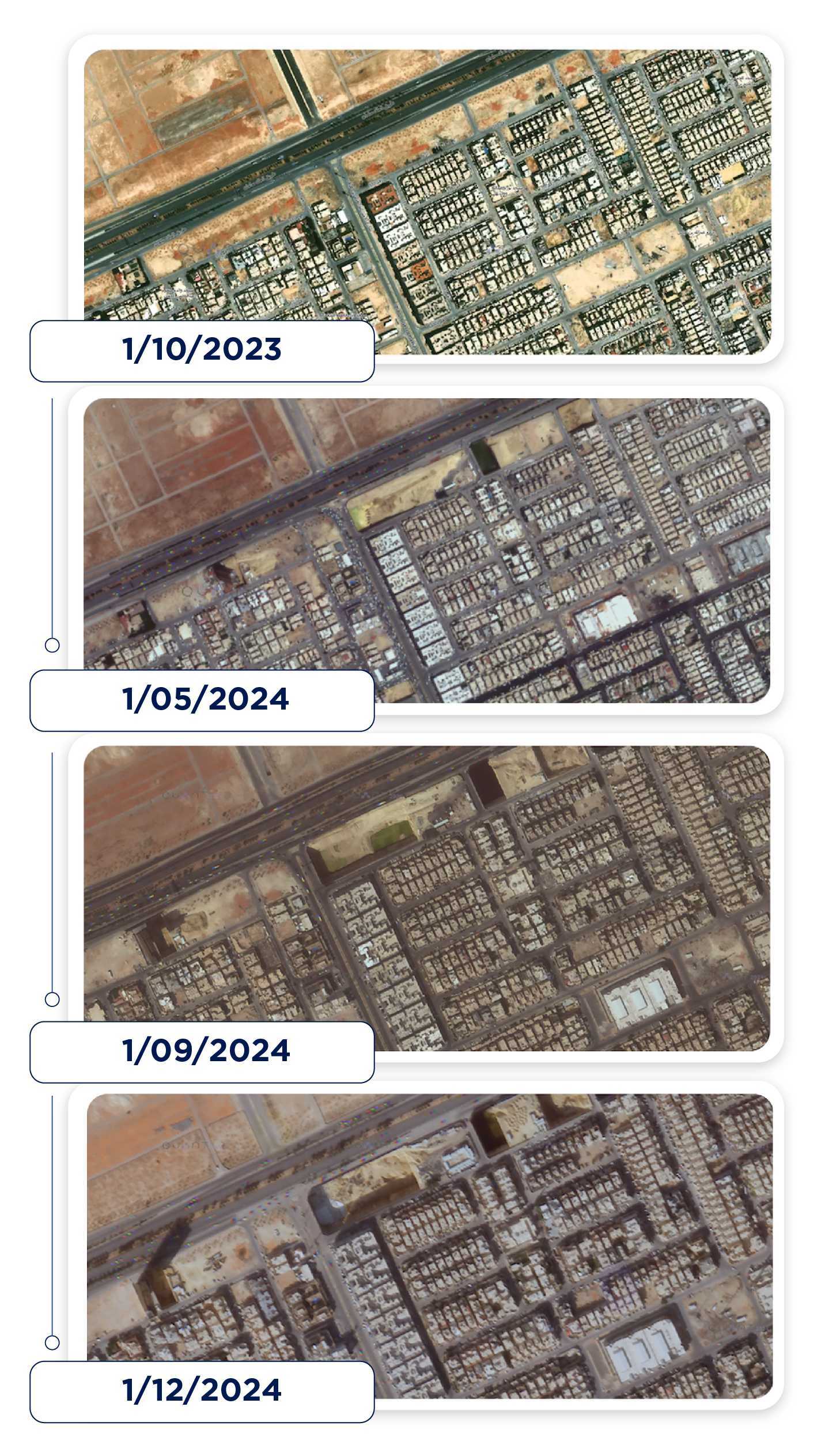
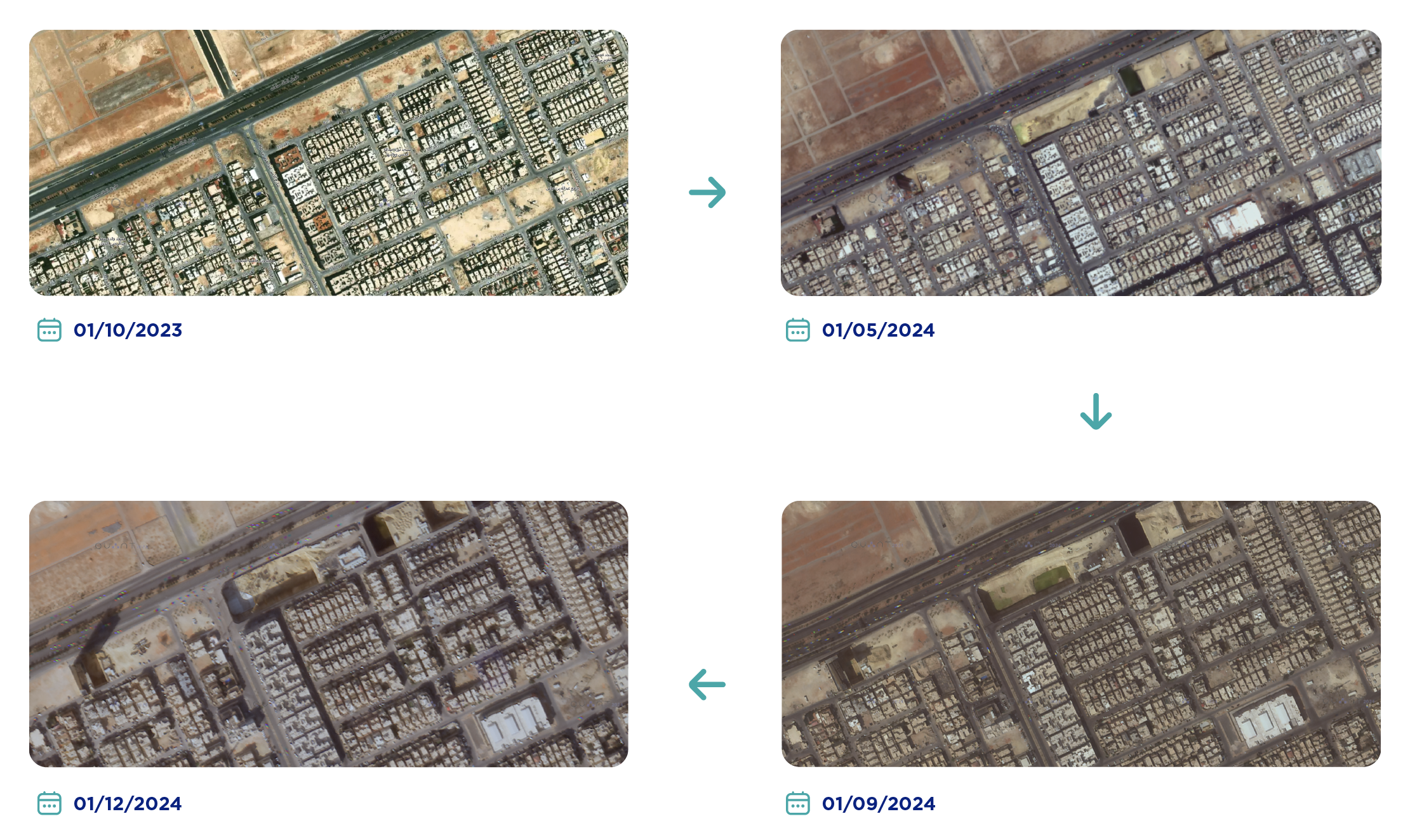
Satellite imagery provides a comprehensive aerial view of the Earth that can be used for a variety of purposes, ranging from assessing geographical information for land-use decisions to monitoring infrastructure and the environment. As Saudi Arabia witnesses rapid urbanization and infrastructure growth, high-resolution satellite imagery has emerged as an indispensable tool for industries including:
- Real Estate: With building detection models, satellite imagery can be used for property valuation, searching for investment opportunities, and real estate market analysis in Saudi Arabia.
- Urban Planning: Frequent satellite updates help with better infrastructure planning, guidance in construction and monitoring urban growth.
- Environmental Monitoring: Satellite imagery containing information on vegetation and land use assists in practices that can help in sustainable development solutions and environmental conservation.
At Quant, we utilize satellite data in conjunction with optimized AI algorithms, ensuring that all these channels of information will be processed into intelligible industry-specific insights for users.


Unlocking the Power of Data: How QI “A Key Product of Quant”, Brings Satellite Imagery to Life
Unlocking the Power of Data: How QI, Quant’s Prime Product, Brings Satellite Imagery to Life
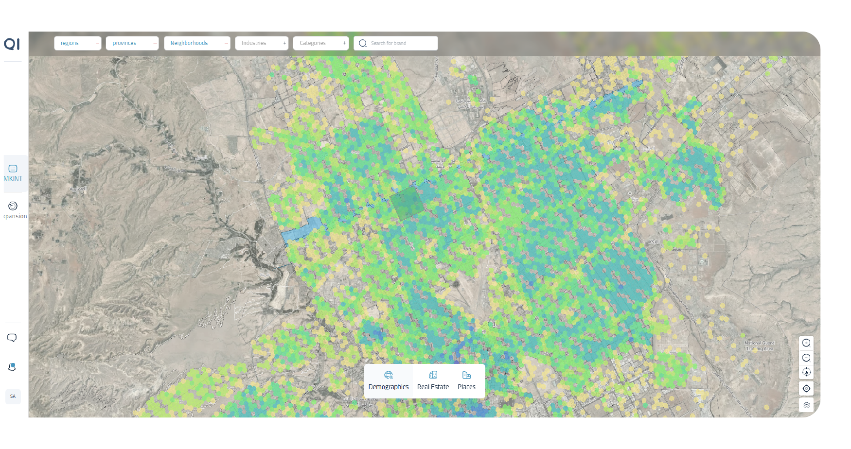
While satellite imagery is a strong cornerstone, it is with the help of QI’s machine learning models that this data becomes meaningful. These models, designed for specific applications, transform raw satellite imagery into powerful tools for decision-making.
A useful application of this can be seen while building detection models. Our models assess urban density, construction data and zoning ordinances to help real estate developers make better decisions for site selection and investment. That’s not all, they also conduct infrastructure analysis, with every road and utility being monitored to identify any inefficiencies or improper allocation of resources so that they can be rectified. On top of that, QI’s data layers and AI-powered analysis support sustainable land management and conservation programs that align with Saudi Arabia’s environmental plans.

Strategic Partnerships: The Backbone of Quant’s Excellence
- Frequent Updates: Satellogic owns an advanced constellation of satellites capable of providing updated images, which is crucial in monitoring the fast-changing environments in both urban and rural settings.
- High Precision: Airbus imaging technology provides the level of detail required for analysis, which is crucial when it comes to real estate, infrastructure, and environmental decision making.
- Tailored Solutions: We then integrate this high-quality data with our team’s competence in AI and modeling to develop industry-specific solutions that can span from transportation to property.Satellite partnerships with Airbus and Satellogic are key in enabling Quant to provide unparalleled insights. These collaborations allow exclusive access to cutting-edge satellite technology, making us trailblazers in the industry:
These partnerships help Quant to provide various companies with the tools they need to respond to pressing issues, capitalize on new opportunities, and hold a competitive edge in a rapidly growing field.
Supporting Vision 2030 with Data-Driven Innovation
According to Mordor Intelligence, the KSA Satellite Imagery Services Market size is estimated at USD 80.55 million in 2025, and is expected to reach USD 142.01 by 2030.
This is largely due to Saudi Arabia’s quest to become a hub of innovation and sustainability. QI’s satellite-based offerings are crucial to these missions. From fostering urban expansion to promoting environmental stewardship, our tools align perfectly with the aspirations of Vision 2030:

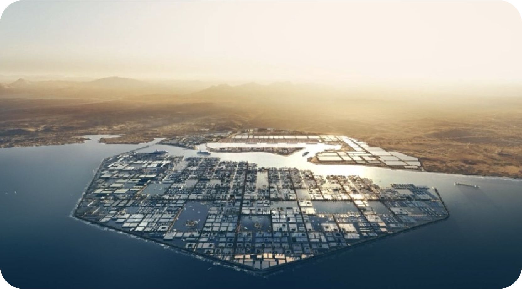
- Smart Cities: QI’s data can be used for the creation of smart cities in Saudi Arabia, focused on effectiveness, integration, and conservation.
- Economic Growth: By enabling smarter decision-making when it comes to investments, solutions from QI contribute to innovation and growth in varying sectors.
- Sustainability: QI’s environmental monitoring tools help organizations and governmental agencies adopt positive environmental practices that have less of a negative influence on ecology.
Conclusion: QI’s Satellite Data Solutions to Empower Our Future
QI’s satellite-powered data solutions are helping businesses in Saudi Arabia gain the competitive edge they require. By integrating satellite imagery with detection models based on artificial intelligence, our solutions turn data into the asset that it is meant to be, thus supporting growth, efficiency, and sustainability.
If you’re interested in making the most of satellite imagery for your business, then QI will go a long way in helping to get you there. Get in touch with us today to know how our satellite imagery offerings, incorporating Airbus and Satellogic, can take your business to the next level.
Share this Article
![]()
